
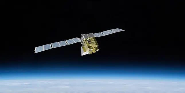
MethaneSAT, a satellite that will track and analyze methane emissions on a worldwide scale, was launched on Monday (March 4) from California aboard a SpaceX Falcon9. While the washing-machine-sized satellite is not the first to detect and quantify methane emissions, it will provide more information and a considerably broader field of vision than its predecessors.
Here’s everything you need to know about MethaneSAT
Methane is an unseen but potent greenhouse gas that is the second largest contributor to global warming after carbon dioxide, accounting for 30% of global heating since the Industrial Revolution. According to the United Nations Environment Programme, methane is 80 times more potent at warming than carbon dioxide during 20 years. The gas also contributes to the creation of ground-level ozone, a colourless and very unpleasant gas found just above the Earth’s surface. According to 2022 research, exposure to ground-level ozone may contribute to one million premature deaths per year.
Therefore, it is critical to reduce methane emissions. And the primary problem is fossil fuel operations, which account for around 40% of all human-caused methane emissions. MethaneSAT aims to assist in achieving this goal. The Environmental Defense Fund (EDF), a non-profit environmental advocacy organization based in the United States, is behind MethaneSAT. To create the satellite, EDF collaborated with Harvard University, the Smithsonian Astrophysical Observatory, and the New Zealand Space Agency.
Methane emissions have always been difficult to track and measure
Essentially, MethaneSAT will orbit the Earth 15 times per day to monitor the oil and gas sector. According to EDF, it will generate a vast amount of data that will reveal “how much methane is coming from where, who’s responsible, and are those emissions going up or down over time”. The data collected by MethaneSAT will be made public for free in near real-time. This will allow stakeholders and regulators to take action to reduce methane emissions.
Methane emissions have always been difficult to track and measure. While certain satellites can collect high-resolution data, they can only scan specific, pre-determined locations. Others can investigate wider areas and detect huge emitting events, but they cannot scan “smaller sources that account for the majority of emissions in many if not most, regions,” according to an EDF statement. Because of this disparity, according to an International Energy Agency (IEA) assessment, global methane emissions are around 70% greater than levels recorded by national governments.