

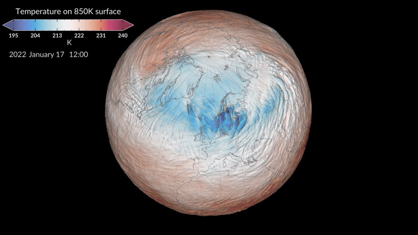
The polar vortex has weakened earlier in the season than in any year on record. This ring of westerly winds sits about 30 km above the Arctic. On Friday it was blowing at about 1 metre per second, against a normal of 26, the polarvortex.earth tracker shows.
The tracker plots European forecast-model data, and every member of that ensemble reverses the winds by Nov. 21.
What it means for your winter is much less certain than the headlines. A collapse high in the stratosphere can send Arctic air south weeks later, but often doesn’t. This one is also colliding with an El Niño that NOAA expects to be among the strongest on record.
A ring of wind far above the weather
The stratospheric polar vortex forms each winter 10 to 30 miles above the North Pole, NOAA’s Climate.gov explains. That puts it well above the polar jet stream, which runs 5 to 9 miles up. The jet stream is what steers most day-to-day winter weather.
Any bitter cold snap tends to get called “the polar vortex”. NOAA scientists Amy Butler and Laura Ciasto pushed back on that in a 2025 post, “This cold air? It’s probably not the polar vortex“. That winter, they wrote, “the troposphere and stratosphere have been mostly doing opposite things over the polar region.”
A sudden stratospheric warming happens when large waves rising from the lower atmosphere batter the vortex. Polar stratospheric temperatures can climb 50 to 70°F in a few days, Butler wrote in 2016.
When the winds actually flip from westerly to easterly, it counts as a major warming. “The timing of wind reversal is considered the start of the sudden stratospheric warming event,” Ciasto told Climate.gov in 2021. They happen about six times a decade, that post said.
Nothing this early is on record
The vortex normally strengthens through autumn and peaks around January. This year it was already showing strain in late October.
Tim Stockdale and Frédéric Vitart of the European weather centre ECMWF said it is the earliest disruption they know of. They spoke to AFP, as France 24 reported. Météo-France said climate reconstructions back to the 1950s show nothing comparable before late November.
In none of the 30 years from 1991 to 2020 had the winds reversed by Nov. 21, the tracker notes. The European high-resolution model has them at minus 2.8 m/s on Nov. 11. FOX Weather reported on Friday that its forecast centre considers the vortex already “disrupted at the earliest point in a calendar year on record.”
Nobody has a settled explanation. Stockdale and Vitart said they did not know why it came so early. El Niño “could have been a factor,” they said. Judah Cohen, an MIT research scientist, tied it more to record high pressure over Scandinavia and northwestern Russia, AFP reported.
Past early breakdowns pointed both ways
Butler told Climate.gov in 2021 that “disruptions of the polar vortex can cause cold air outbreaks over much of Europe, Asia, and the eastern USA.” Surface effects usually lag by a few weeks, according to Climate.gov. NOAA’s Climate Prediction Center says a November event can be felt for up to two months.
Ciasto is a meteorologist in the National Weather Service’s Extended Prediction Division. She told the Philadelphia Inquirer that these events “lead to increased probabilities of below-normal temperatures across the Eastern United States.” This one is harder to read. “Because there have been so few in November, there’s some uncertainty about what the surface impacts might look like,” she said.
Our table gathers the early-season cases from the sources we opened. Dates through 2023 come from NOAA’s stratospheric warming compendium, and the 2025 date from AFP and polarvortex.earth. Outcomes are from Capital Weather‘s review of recent early events.
| Winter | What happened in the stratosphere | What followed in the US |
|---|---|---|
| 1958–59 | Major warming on Nov. 30, 1958, in one of NOAA’s datasets only | Not documented in sources we opened |
| 1968–69 | Major warming dated Nov. 27–29, 1968, depending on the dataset | Not documented in sources we opened |
| 2009–10 | November disruption during an El Niño; no major warming until Feb. 9, 2010 | A historically snowy Mid-Atlantic winter |
| 2019–20 | Early disruption, then the vortex recovered to near-record strength | January and February abnormally mild across much of the US |
| 2025–26 | Major warming around Nov. 28, 2025 | Colder than normal in the eastern US for much of the winter |
| 2026–27 | Winds near zero on Nov. 6; reversal forecast | Unknown |
El Niño may blunt the cold in the US
The bigger force on this winter may be in the Pacific. The Climate Prediction Center said in its October update that a strong-to-very-strong El Niño is likely through March. It put an 83% chance on the event beating every El Niño since 1950 in October to December. A strong El Niño typically favours a milder northern US and a wetter South, FOX Weather’s forecasters noted.
The two forces pull in opposite directions over the East. The centre’s November outlook, issued Oct. 31, says a warming usually shows up as a negative Arctic Oscillation. In the eastern US, those effects “compete with those from El Nino.” “How these two phenomena work together or compete will definitely influence what we feel at the surface,” Ciasto told the Inquirer.
Several forecasters lean towards Eurasia getting the brunt. Matt Rogers of the Commodity Weather Group told Capital Weather that El Niño’s strong Pacific jet could act as a “firewall” against cold air. FOX Weather’s forecasters expect the coldest air to pool over Eastern Europe and Siberia.
Grahame Madge of the UK Met Office called the event “exceptional” but “not necessarily worrying,” AFP reported. Siberia and the Arctic, he said, are not yet as cold as they will be by February.
Cohen put the uncertainty most plainly. “I don’t know what’s going to happen, and I don’t think anyone else does either,” he told Capital Weather.
The dates to watch through early December
For now, the federal outlooks point mild. The Climate Prediction Center’s 6–10 and 8–14 day outlooks, issued Friday, lean cool only in the East. They favour near-to-below-normal temperatures for the eastern third of the country from Nov. 12 to 16. From Nov. 14 to 20, they favour above-normal warmth across most of the US.
- Nov. 8 to 11: Models show the winds reversing, which would make this a major warming. FOX Weather said it could come as early as Nov. 8.
- Nov. 12: NOAA’s next monthly El Niño update.
- Nov. 19: The Climate Prediction Center issues its December outlook.
- By Nov. 21: All 50 European ensemble members show the vortex reversed.
- Late November into January: The window for any surface cold. FOX Weather puts it in late November or December. Cohen told Capital Weather the effects may not appear until January.
A cold December would hit household budgets after home electricity prices rose 6.9% in the first seven months of 2026. It would also arrive during an early flu season.
The next firm signal comes on Nov. 19, when the December outlook shows whether forecasters see the stratosphere outweighing El Niño.